Four practical tools for better local government.
Each CivicTally product solves one clear problem well. Start with the one your community needs most — each stands on its own, and they share a common approach to clarity, accessibility, and affordability.
Resident Reporting & Issue Management
CivicReport
Respond to community needs.
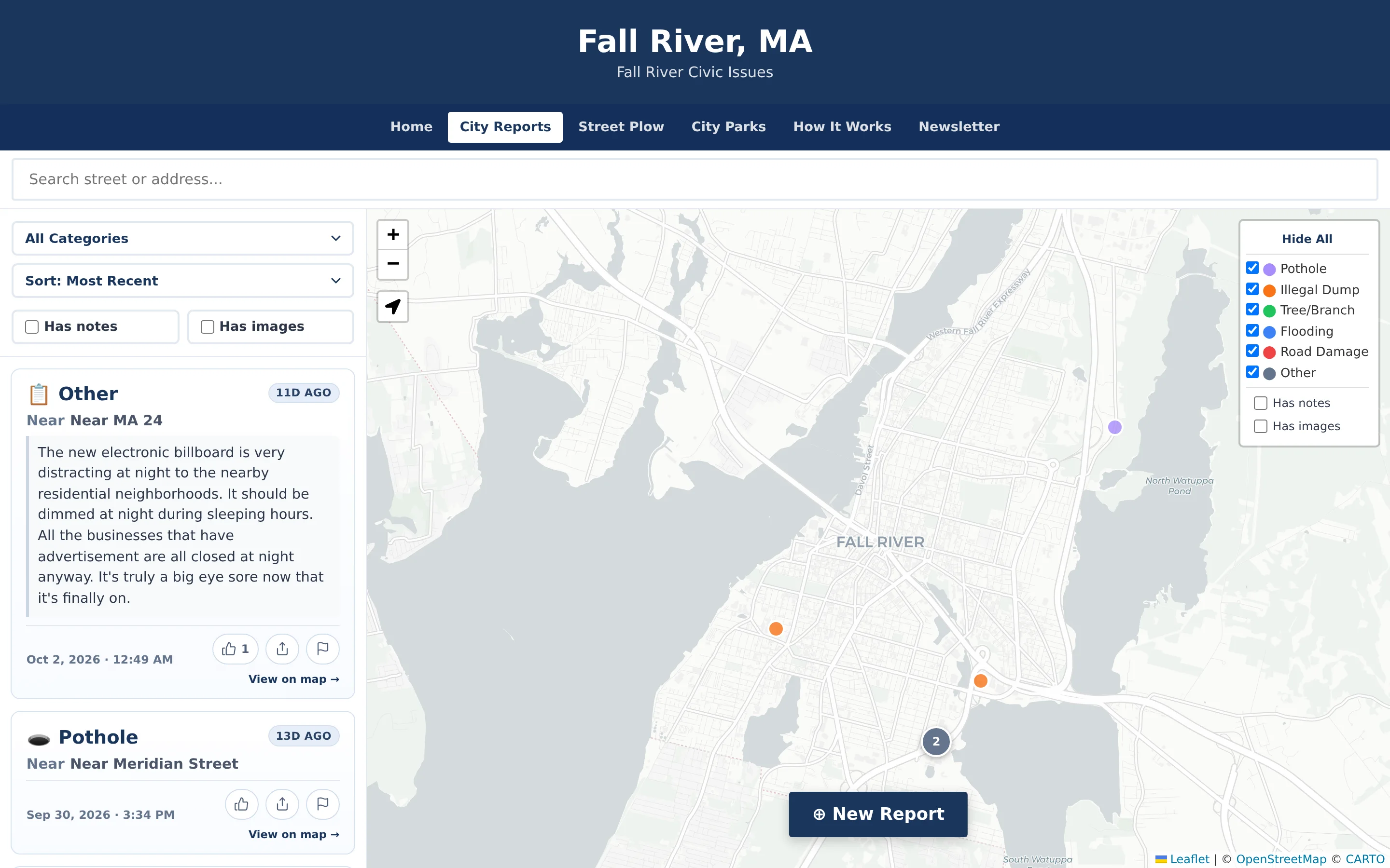
Give residents an easy way to report local concerns while providing municipal departments with the tools to review, organize, and manage incoming issues.
- Anonymous resident reporting
- Interactive issue maps
- Report categories
- Precise locations & descriptions
- Photo attachments
Public Meeting Transparency
CivicMeeting
Make local decisions easier to follow.
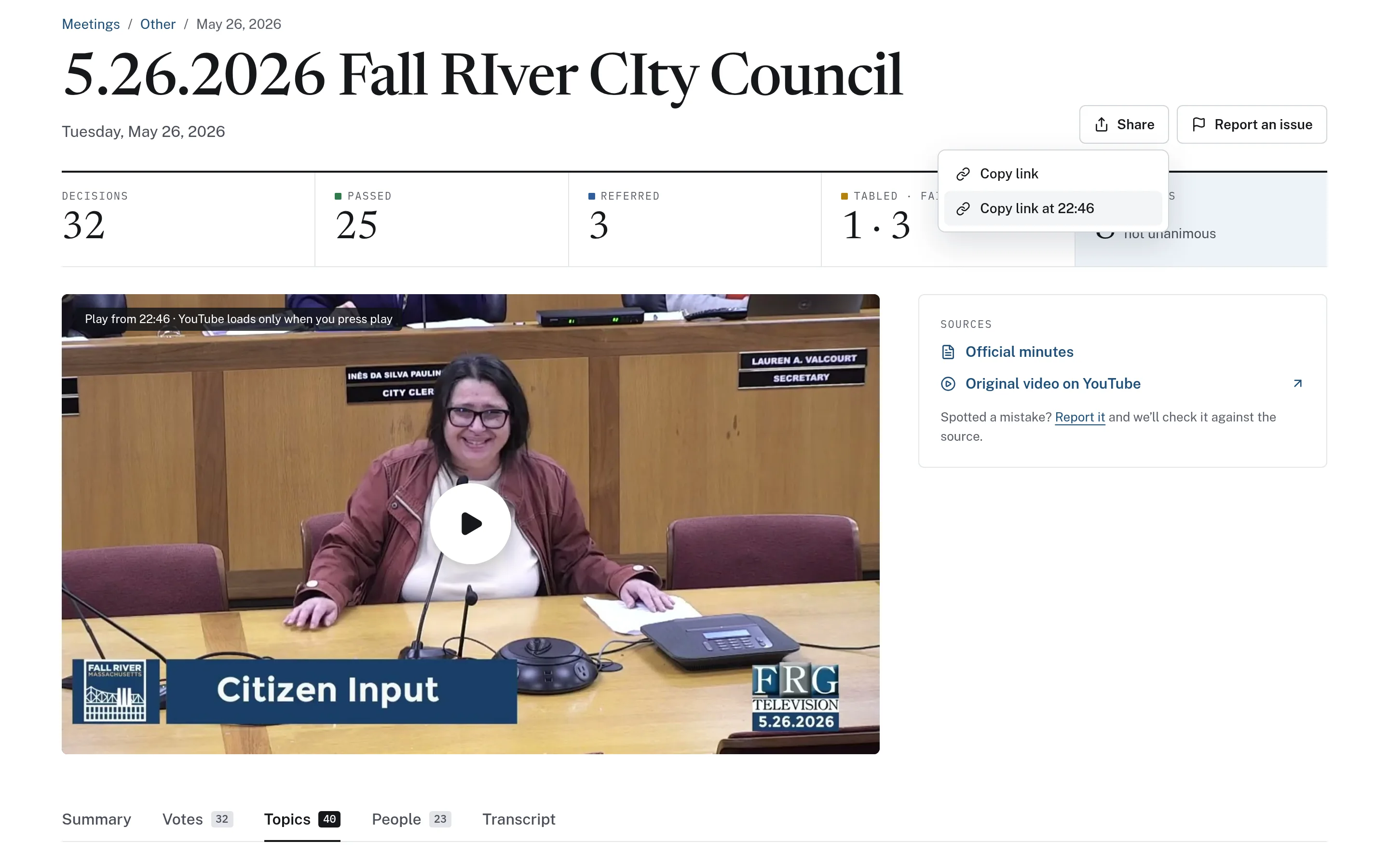
CivicMeeting transforms recorded municipal meetings into searchable public information that helps residents and staff find important discussions and decisions.
- Meeting archives
- Searchable transcripts
- Topics & timestamps
- AI-generated summaries
- Shareable moments
Municipal Budget Transparency
CivicBudget
Make public spending easier to understand.
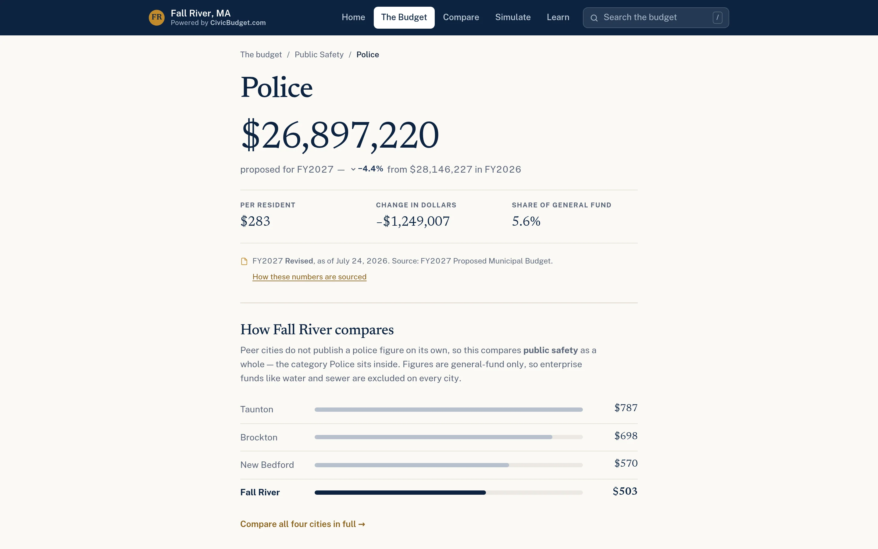
CivicBudget turns municipal budget documents into accessible, interactive public information that helps residents better understand local spending and financial priorities.
- Interactive budget explorer
- Searchable spending data
- Department breakdowns
- Charts & visualizations
- Municipal comparisons
Emergency & Municipal Planning
CivicMaps
Plan and coordinate with confidence.
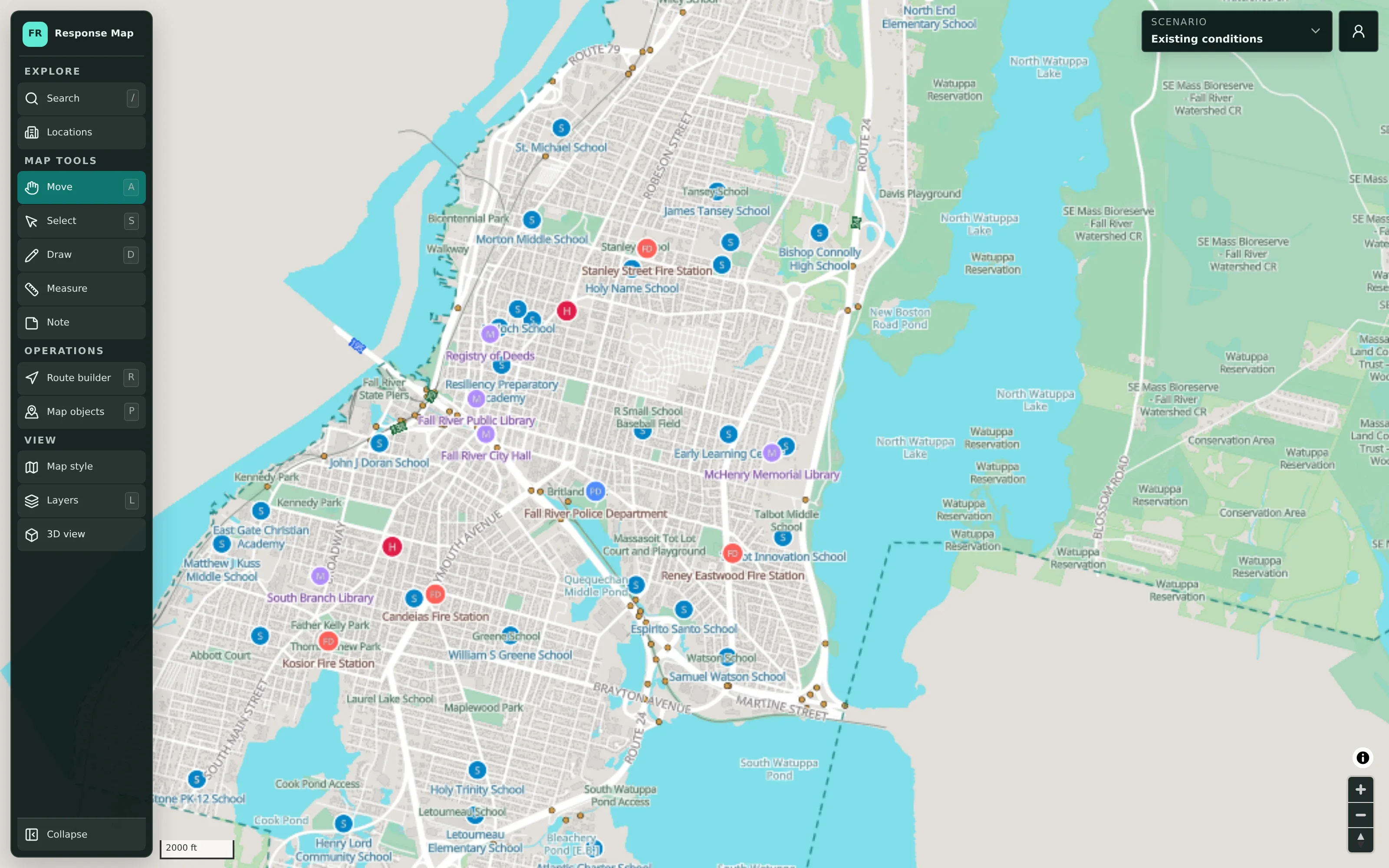
CivicMaps helps municipalities create, organize, and share interactive planning maps for emergency preparedness, tabletop exercises, and coordinated municipal operations.
- Interactive planning maps
- Multiple maps & scenarios
- Scenario management
- Drawing & annotation
- Route planning
Which product fits which need?
Every product can be adopted on its own. Many communities start with one and add others later.
| Attribute | CivicReport | CivicMeeting | CivicBudget | CivicMaps |
|---|---|---|---|---|
| Primary job | Receive, route, and resolve non-emergency resident reports | Make recorded meetings searchable and decisions traceable | Publish an understandable, cited public budget | Build and share planning scenarios on a common map |
| Typical lead department | Public Works or Administration | Clerk or Communications | Finance or Administration | Emergency Management |
| Who uses it | Residents and municipal staff | Residents, staff, officials, and press | Residents, officials, and finance staff | Authorized staff and partner agencies |
| Public or private | Public reporting site plus staff dashboard | Public meeting information site | Public budget site | Private by default; shared deliberately |
| Built from | Your categories and department routing | Your published recordings, agendas, and minutes | Your official budget documents | Public geographic data plus your plans |
Find the right starting point.
Tell us about your community and what you’d like to improve. We’ll help you decide which product makes sense first.